
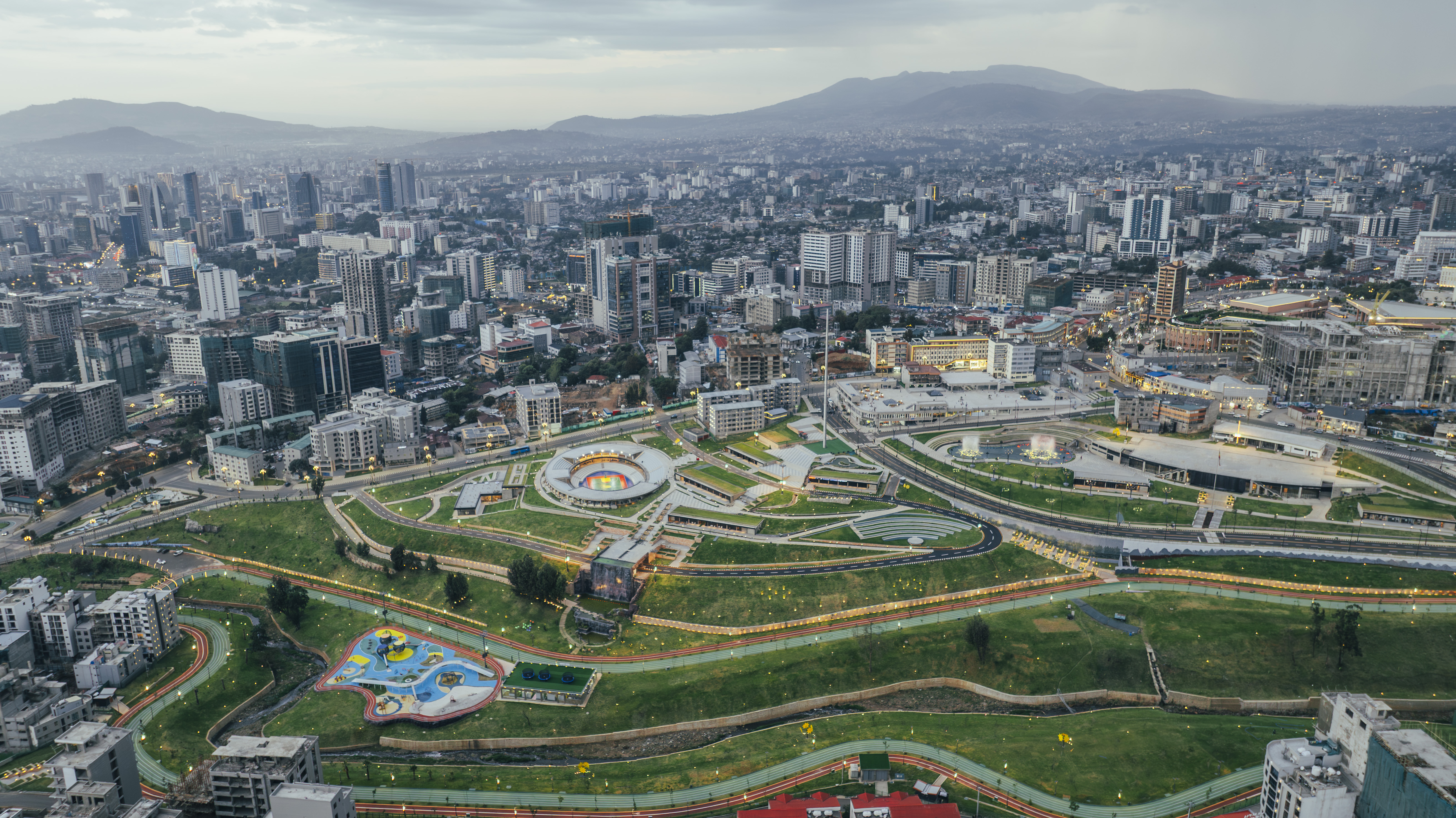
Arada Park
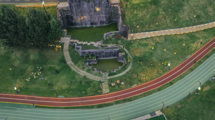

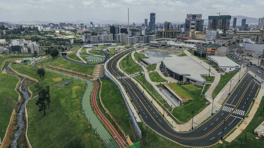
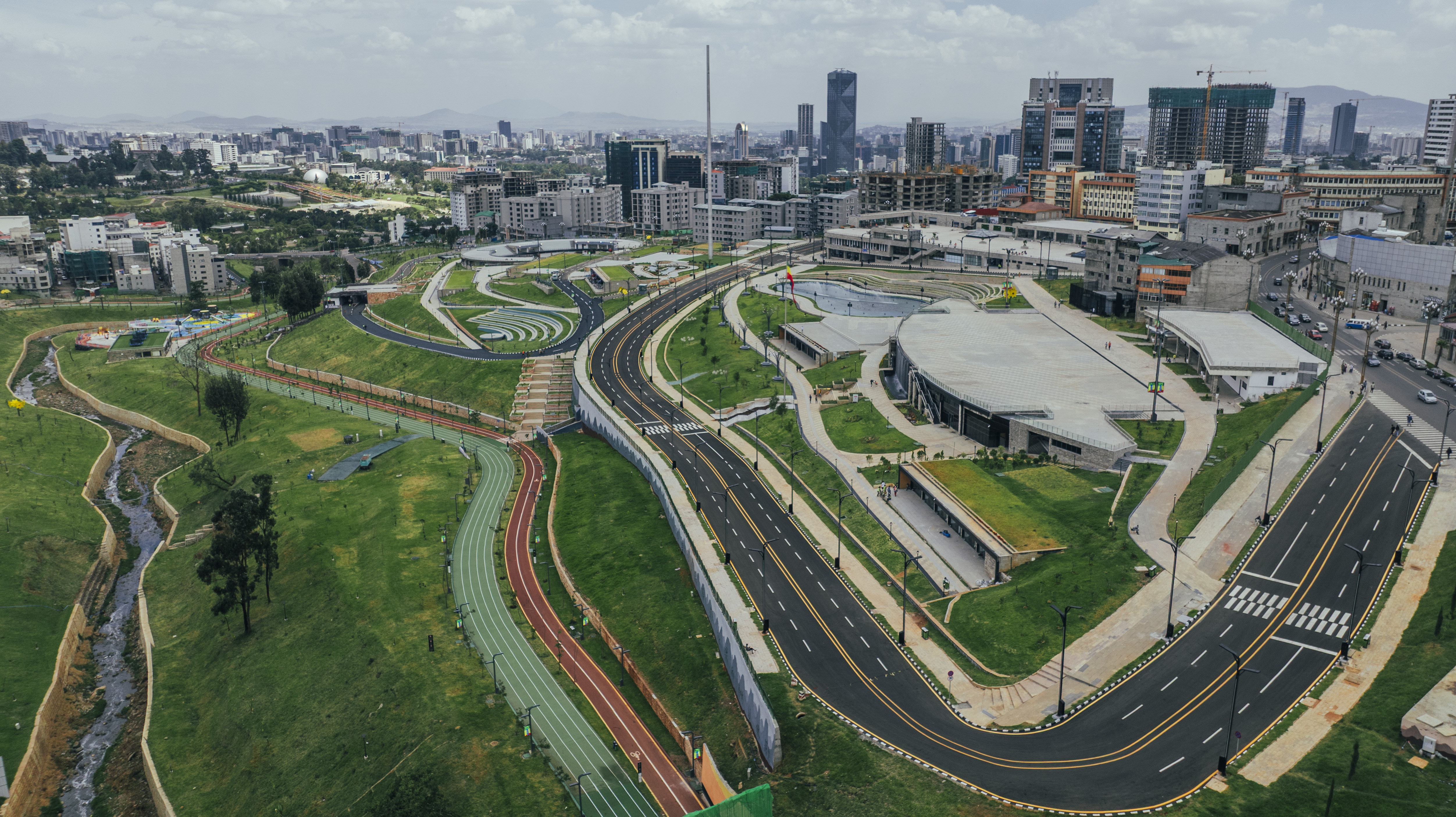
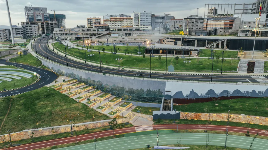

Arada Park is a 40-hectare mixed-use urban park located in the historic Piassa/Arada area of Addis Ababa. It transformed an area that previously contained deteriorated housing, polluted riverbanks, and unde rutilized land into a large public park with recreational, cultural, commercial, and environmental features. The project was officially inaugurated in April 2026.
Key Facts
- Official name: Arada Park
- Former project identity: Part of the Riverside Development Project (RSDP)
- Location: Arada/Piassa district, Addis Ababa
- Size: Approximately 40 hectares
- Green space: Around 15 hectares
- Official opening: April 30, 2026
Major Features
The park combines environmental restoration with urban redevelopment and includes:
- 15 hectares of landscaped green areas
- 6 km of pedestrian walkways
- 5 km cycling path
- 5 km running track
- River restoration and flood protection
- Four children's playgrounds
- Multiple plazas and amphitheaters
- Sports arena with gymnasium and event halls
- Miniature City children's attraction
- 131 commercial shops
- Cafés, restaurants, supermarket, and banking services
- Ethiopia's 100-meter national flag as a central landmark
Urban Development Objectives
The project was designed to:
- Restore degraded river corridors
- Reduce flooding risks
- Improve environmental quality
- Create accessible public recreational space
- Revitalize the historic Piassa/Arada district
- Promote tourism
- Support small businesses and local commerce
- Improve pedestrian and cycling infrastructure
- Enhance climate resilience through expanded urban greenery
Part of a Larger Program
Arada Park is only one section of Addis Ababa's broader river restoration initiative. The wider Riverside Development Program includes projects such as:
- Entoto–Kebena River and Riverside Development
- Kechene–Medhanealem riverside corridor
- Kebena tributary restoration
- Additional riverfront parks and public spaces across the city
The larger network is intended to reconnect Addis Ababa with its rivers through environmental restoration, flood control, recreation, and urban renewal. The Entoto–Kebena section alone spans approximately 87.6 hectares along a 10.5 km river corridor.
Historical Transformation
According to official project information, the site formerly consisted of:
- Densely built, aging residential areas
- Polluted riverbanks
- Limited public open space
- Areas vulnerable to flooding
- Informal commercial activity
The redevelopment included rehabilitation of hundreds of existing buildings while introducing extensive public amenities and landscaped open space